Introduction: A State Organized Around Four Shrines
There are relatively few places in the world where a modern state's tourism ministry, road-building budget, environmental litigation docket, and religious calendar are all organized around the same four physical locations. Uttarakhand is one of them. The Char Dham — literally "the four abodes" — refers here specifically to the Chota (Small) Char Dham circuit within Uttarakhand: Yamunotri, Gangotri, Kedarnath, and Badrinath, sited progressively deeper into the high Himalaya along the headwaters of the Yamuna, the Ganga (Bhagirathi), the Mandakini, and the Alaknanda rivers respectively. This regional circuit is distinct from, though sometimes confused with, the pan-India "Char Dham" of Hindu tradition established by the philosopher Adi Shankaracharya — Badrinath, Puri, Dwarka, and Rameswaram — with Badrinath serving as the single overlapping site between the two systems. This report examines how this compact geography of four shrines has shaped, and continues to shape, Uttarakhand's culture, its economy, its environmental politics, and its very identity as "Devbhoomi."
The Four Shrines: Geography and Sacred Meaning
Yamunotri: The Source of the Yamuna
Yamunotri, the westernmost of the four dhams, sits in Uttarkashi district near the source of the Yamuna river, at an elevation of roughly 3,293 metres. The presiding deity is the goddess Yamuna, and the temple — rebuilt multiple times after damage from snow and avalanches, most recently in the 19th century under the patronage of the Maharani of Jaipur, Gularia Devi — is reached via a steep trek from the roadhead at Janki Chatti. The site is also known for naturally occurring hot springs, including the Surya Kund, where pilgrims traditionally cook rice and potatoes wrapped in cloth as a prasad offering, using the geothermally heated water — a distinctive ritual practice tying the site's specific geological character directly into its devotional customs.
Gangotri: Where the Ganga Descends
Gangotri, in the same Uttarkashi district, is dedicated to the goddess Ganga and marks the mythological point of the river's descent to earth, though the actual glacial source of the Bhagirathi (which becomes the Ganga further downstream) lies further upstream at Gaumukh, the snout of the Gangotri Glacier, reachable via an additional multi-day trek popular with more committed pilgrims and trekkers. The temple, situated at approximately 3,100 metres, is associated in tradition with the 18th-century Gorkha commander Amar Singh Thapa, who is credited with its construction — a notable historical link, given the generally negative regional memory of the Gorkha period discussed in this series' history report, illustrating how even a politically fraught interlude left behind structures that were subsequently absorbed into the region's devotional landscape without controversy.
Kedarnath: The Highest and Most Storied
Kedarnath, dedicated to Shiva in his form as Kedarnath ("Lord of the Field"), sits at approximately 3,583 metres in Rudraprayag district and holds a uniquely elevated status among the four, both physically and devotionally, as one of the twelve Jyotirlingas — the most sacred category of Shiva shrines recognized across the subcontinent, placing Kedarnath in a religious category shared with sites as far away as Somnath in Gujarat and Rameswaram in Tamil Nadu. Temple tradition attributes the current stone structure to the Pandava princes of the Mahabharata, later renovated by Adi Shankaracharya in the 8th century CE, whose own samadhi (final resting shrine) stands adjacent to the main temple. Architecturally, the temple's massive stone construction, using interlocking slabs without mortar in a style suited to the extreme seismic and weather conditions of its location, has been cited by structural engineers as a likely factor in the temple's remarkable survival of the catastrophic June 2013 flash flood and debris flow that devastated the surrounding town and killed thousands, even as the temple itself sustained relatively limited structural damage — an event now woven inextricably into the shrine's contemporary devotional narrative, with many pilgrims and locals interpreting the temple's survival as itself a marker of divine protection.
Badrinath: The Grandest and Most Accessible
Badrinath, the northernmost and most visited of the four, is dedicated to Vishnu in his form as Badrinarayan, sits at roughly 3,133 metres in Chamoli district near the Tibet border, and — unlike the other three dhams — is accessible by motorable road directly to the temple town itself, a factor that combines with its dual status in both the regional Chota Char Dham and the pan-India Adi Shankaracharya Char Dham to make it consistently the highest-footfall site of the circuit. The temple's current structure, though renovated multiple times including significant repair after earthquake damage in the 19th century, is again traditionally linked to Adi Shankaracharya's 8th-century consolidation of major Hindu pilgrimage sites, and the temple's head priest, the Rawal, is traditionally drawn from the Namboodiri Brahmin community of Kerala — a striking detail that has long fascinated visitors and scholars alike, illustrating the pan-Indian religious networks that connected the Himalaya to peninsular India centuries before modern transportation made such connections routine, and a tradition maintained continuously into the present day.
The Yatra Season and Its Rhythms
The Char Dham Yatra operates on a strict seasonal rhythm dictated entirely by Himalayan weather: the shrines open in late April or early May, timed to the auspicious occasion of Akshaya Tritiya for Gangotri and Yamunotri, with Kedarnath and Badrinath opening slightly later, and all four close by around Diwali in late October or early November, when the deities' ceremonial images (in the case of Kedarnath and Badrinath) are traditionally carried down in procession to designated winter seat temples at lower, more accessible elevations — Ukhimath for Kedarnath and Joshimath (Pandukeshwar) for Badrinath — where worship continues through the winter months while the high-altitude shrines themselves remain closed and snowbound. This closing and opening ceremony, accompanied by elaborate processions and considerable local participation, functions as its own significant annual cultural event across the towns along the pilgrimage route, independent of the pilgrimage traffic itself.
Within this roughly six-month window, pilgrim numbers have grown dramatically over the past decade, with state tourism data showing multi-million annual pilgrim totals across the four sites combined in recent years — figures that state officials cite proudly as evidence of the pilgrimage economy's growing scale, even as the same figures generate the environmental and crowd-management concerns discussed later in this report.
The Pilgrimage Economy: Livelihoods Built on Faith
The Char Dham Yatra is not merely a religious observance layered atop Uttarakhand's economy; in the districts along its route, it substantially is the economy. Towns such as Rudraprayag, Uttarkashi, Joshimath, and the string of smaller settlements along the pilgrimage roads — Sonprayag, Gaurikund, Govindghat, and others — derive the overwhelming share of their annual income from yatra-season activity: guesthouse and hotel operations, mule and pony operators and their associated fodder and stabling trades, palanquin (doli) and porter services for pilgrims unable to complete the trek on foot, helicopter service operators offering aerial access to Kedarnath in particular, roadside food stalls, religious souvenir and prasad vendors, and the priestly (pandas and tirth-purohits) families whose hereditary rights to serve particular pilgrim client families form a distinct and economically significant occupational category dating back generations.
This economic dependence creates a structural vulnerability that became catastrophically visible in June 2013, when the Kedarnath flash flood — triggered by a cloudburst and the sudden breach of the Chorabari glacial lake above the town — killed thousands of pilgrims and locals and effectively destroyed the town's entire built environment in a matter of hours, at the height of the pilgrimage season, decimating in a single event years of accumulated livelihood infrastructure and precipitating a multi-year, government-led reconstruction effort that rebuilt Kedarnath town according to a revised master plan intended to reduce vulnerability to future flood events. The disaster remains the starkest illustration of how directly the region's economic fortunes and its physical vulnerability to Himalayan natural hazards are intertwined.
Environmental Controversy: Roads, Slopes, and Litigation
The Char Dham All-Weather Road project — a central-government-backed initiative to widen and upgrade roughly 900 kilometres of highway connecting the four shrines, framed officially both as pilgrim-safety infrastructure and as strategic connectivity given the routes' proximity to the China border — has generated one of the most sustained environmental controversies in the state's recent history. Petitioners, including environmental groups and some retired government scientists, challenged the project before the Supreme Court, which in 2018 constituted a High-Powered Committee to examine the ecological consequences of large-scale hill-cutting for road widening in a geologically young, seismically active, and already landslide-prone terrain. The committee's proceedings, which continued for several years and involved genuine internal disagreement among its own members over the appropriate road width and cutting methodology, became a rare instance of a technical environmental dispute over a single infrastructure project receiving sustained national judicial and media attention.
The stakes of this debate were thrown into sharp relief by the February 2021 Chamoli disaster, in which a massive rock and ice avalanche triggered a devastating flash flood down the Rishiganga and Dhauliganga valleys, destroying two hydropower projects under construction and killing well over a hundred workers — an event distinct from but frequently discussed alongside the Char Dham road controversy as part of a broader pattern of large-scale infrastructure development proceeding in a Himalayan zone whose geological fragility, compounded by climate-change-driven glacial instability, is increasingly difficult for planners and courts alike to responsibly weigh against the genuine economic and religious-access benefits such infrastructure delivers to pilgrimage-dependent hill communities.
Crowd Management and the Limits of Devotion
Beyond large infrastructure controversies, the sheer scale of contemporary pilgrim traffic has generated its own distinct set of governance challenges. Record pilgrim numbers in recent yatra seasons have produced severe congestion at bottleneck points along the route, extended waiting times for temple darshan that have themselves contributed to heat exhaustion and cardiac incidents among elderly pilgrims unaccustomed to high-altitude conditions, and periodic fatalities that have prompted the state government to introduce mandatory online registration systems, daily pilgrim caps at the more physically constrained sites (particularly Kedarnath and Yamunotri, both reachable only by foot, pony, or helicopter from their respective roadheads), and expanded mandatory health-screening and medical-camp infrastructure along the route.
These crowd-management measures, while broadly credited with reducing yatra-related fatalities compared to earlier, less-regulated years, have themselves proven politically sensitive, drawing objections from local hospitality and transport businesses in yatra-dependent towns who argue that registration caps and staggered access directly reduce their earning potential during an already short operating season dictated by the Himalayan winter closure.
Sacred Geography Beyond the Char Dham
While the Char Dham circuit dominates Uttarakhand's pilgrimage economy and its national religious profile, it exists within a much denser regional sacred landscape that this report's companion piece on culture and folk tradition addresses more directly through jagar ritual and local deity worship. The broader "Panch Kedar" and "Panch Badri" groupings of secondary Shiva and Vishnu shrines across Garhwal, the Hemkund Sahib Sikh pilgrimage site near Badrinath (drawing significant Sikh pilgrim traffic along an overlapping route corridor), and the ancient Jageshwar temple complex in Kumaon discussed in this series' history report all illustrate that the Char Dham, however dominant economically and symbolically, represents only the most visible layer of a far more extensive network of sacred sites that collectively justify Uttarakhand's Devbhoomi identity in the eyes of both residents and visiting pilgrims.
The Hereditary Priesthood and Its Modern Tensions
The ritual functioning of the Char Dham shrines depends on hereditary priestly institutions whose customs have themselves periodically become sources of controversy in the modern era. At Kedarnath and Badrinath, day-to-day worship is conducted by resident priests (in Badrinath's case, the Kerala-origin Rawal lineage noted earlier, assisted by local Garhwali priests known as Dimri Brahmins who have historically held rights to specific ritual and administrative roles), while the broader pilgrimage economy along all four routes depends on tirth-purohit and panda families who maintain, in some cases across many generations, genealogical registers (bahis) recording the pilgrimage visits of specific client families from across India, entitling those hereditary priests to conduct rituals and receive offerings from their traditional clientele on each subsequent visit. This system, similar in structure to comparable hereditary pilgrimage-priest institutions at sites such as Haridwar and Varanasi, has occasionally generated friction with state temple-management bodies — including the Badrinath-Kedarnath Temple Committee (Shri Badrinath-Kedarnath Mandir Samiti), the statutory body responsible for overall shrine administration — over questions of revenue-sharing, ritual authority, and the modernization of pilgrim-management procedures, with priestly associations periodically staging protests when they perceive administrative reforms as encroaching on customary hereditary rights. These tensions, largely invisible to first-time pilgrims focused on the devotional experience itself, represent an important undercurrent in the shrines' contemporary governance, illustrating that even the state's most sacred sites are not immune to the same negotiations between tradition and administrative modernization that run through this entire series.
Where Pilgrimage Meets Adventure Tourism
The Char Dham corridor does not exist in isolation from Uttarakhand's wider identity as an adventure and eco-tourism destination; in the Badrinath sector in particular, the two overlap directly. The trek to Hemkund Sahib, the high-altitude Sikh gurdwara commemorating a site associated with Guru Gobind Singh, shares its roadhead at Govindghat with the trail into the Valley of Flowers National Park, a UNESCO World Heritage Site renowned for its alpine meadow biodiversity and famously documented by British mountaineer and botanist Frank Smythe in the 1930s after he stumbled upon the valley while descending from a Himalayan expedition. The proximity of a major Sikh pilgrimage site, a globally recognized biodiversity reserve, and the Hindu Char Dham circuit within a single valley system exemplifies the layered, overlapping character of sacred and natural geography across Garhwal, drawing a genuinely diverse pilgrim and visitor base — Hindu Char Dham pilgrims, Sikh Hemkund pilgrims, and secular trekkers and naturalists — through the same narrow mountain corridor during the same brief operating season, compounding the crowd-management and infrastructure-planning challenges discussed above.
This overlap has also shaped state tourism policy more broadly, with successive state governments explicitly marketing Uttarakhand under a dual identity as both a pilgrimage destination and an adventure-tourism hub — encompassing river rafting on the Ganga at Rishikesh, Himalayan trekking and mountaineering out of bases such as Uttarkashi (home to the Nehru Institute of Mountaineering) and Munsyari, and wildlife tourism centred on Jim Corbett National Park in the Terai. Tourism officials have increasingly promoted itineraries that combine Char Dham darshan with adjacent adventure or nature experiences, reflecting a state economic strategy that treats faith-based and secular tourism not as competing draws but as complementary pillars of the same broader visitor economy.
Conclusion: Faith as Infrastructure, Identity, and Fault Line
The Char Dham pilgrimage circuit functions in Uttarakhand simultaneously as devotional practice, economic backbone, engineering challenge, and recurring political and judicial battleground — arguably more so than any comparable religious circuit elsewhere in India, given the unusual concentration of extreme geography, genuine seismic and climate hazard, border-security considerations, and sheer devotional intensity packed into a relatively compact stretch of the central Himalaya. The 2013 Kedarnath disaster and the 2021 Chamoli flood stand as the starkest reminders that the same terrain which lends these shrines their transcendent, awe-inducing character also makes every road, hotel, and hydropower project built to serve their pilgrims and the wider hill economy a genuine gamble against geological and climatic forces only partially understood and only partially controllable. As pilgrim numbers continue to climb and infrastructure investment continues to expand, how Uttarakhand's government, courts, and pilgrimage-dependent communities navigate that gamble will remain one of the defining, unresolved questions shaping the state's culture, economy, and politics alike for years to come.
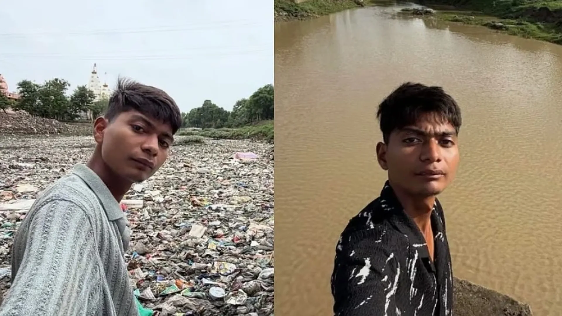
A polluted river. Plastic bottles floating in the water. Algae covering parts of the river. Garbage accumulating along its banks and ghats. For many people, the sight might have been something to…
Becoming an IAS officer is a dream for millions of young Indians. Every year, lakhs of candidates appear for the UPSC Civil Services Examination, competing for a limited number of positions in the…